REGION 4 ANSE GER
WELCOME
Overview
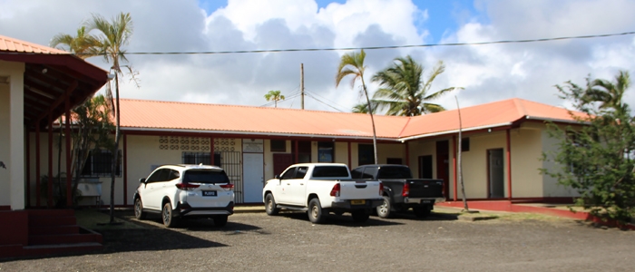
Extension and Advisory Services Division
The Extension and Advisory Services Division provides a free service to the farming public to produce whole some foods and food products for local consumption and for export. The division also has a mandate to protect the Island food security programme and make food available for its citizens.
Geographic Position
Region four (4) is situated in the Southeast quadroon of St. Lucia. It’s geographic boundaries constitutes the Praslin river in the North and the Canelles River in the South, by the sea in the East and rainforest in the West.
Environs
The region’s capital is the village of Micoud and other environs like Blanchard, Desruisseaux, Ti Rocher, La Courville, Dugard, Anse Ger, Mon Repos, Patience, La Pointe, Malgretoute, Lumbard and Praslin are the supporting communities.
Main farming areas includes:
Rallion(upper & lower); Palouge – Minea, St. Marie – Lumbard, La Pointe, Patience – Piton, Mahaut, Moreau, Ravine Noel – Sileaux, Vavot – To cohon, Calypso – Decatierre, Gommier – Bachnal, Woneau, Malaurent, Des Blanchard.
Geography
The region is well diversified in terms of terrain, soil and climate. The terrain graduates from flat to gently sloping lands from the seacoast, to steep lands of approximately 1055 feet above sea level with distinct gully features towards the Forest. There are many soil types but the dominant soil types are stony loam, stony clay and sandy loam. These soils are shallow, stony colluvial and sketetal in nature.
The main water sources found are rivers,springs and ravines. Rivers includes: Troumasse, Fond, Patience, Anse Ger, Volet, Mamiku, Canelles, Rouarne.
Ravines (some are seasonal) includes: Courtoiss, Saut, Victorin, Bourg, Durocher, St. Cyr, Bethel, Pascal and Conore.
Springs : there are many Springs in the region,including Piton Spring which is doing commercial water bottling.
The region is characterized by an average rainfall of 70-80” with a distinct dry period between the month of February to May. The coastal areas are more prone to these dry spells. There is an abundance of sunlight throughout the year. The Physical and Agricultural Landscape is usually scarred by the effects of floods, storms, and hurricanes between the months of June to November.
OUR TEAM


CONTACT US
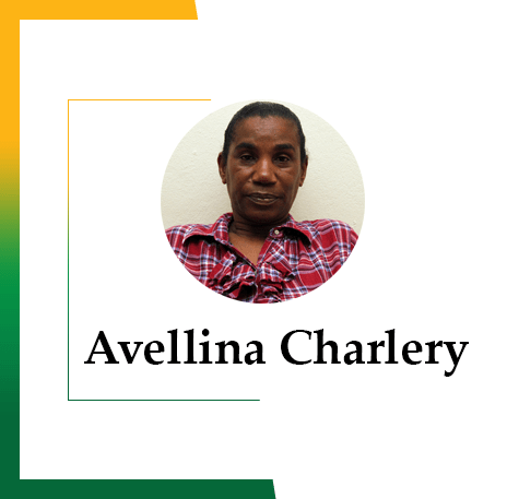
Avellina Charlery
Office Attendant
Phone:
Sharlene Tanica Cherubin
Extension Officer
Phone: 1758-725-4684
- Warren George
Extension OfficerPhone: 1758-453-3242
- Chris Flavius
Extension OfficerPhone: 1758-724-4155
- Kenneth Elva
OfficerPhone: 1758-716-3205
- Phils Louis
Extension Officer
Phone: 1758-725-5367
